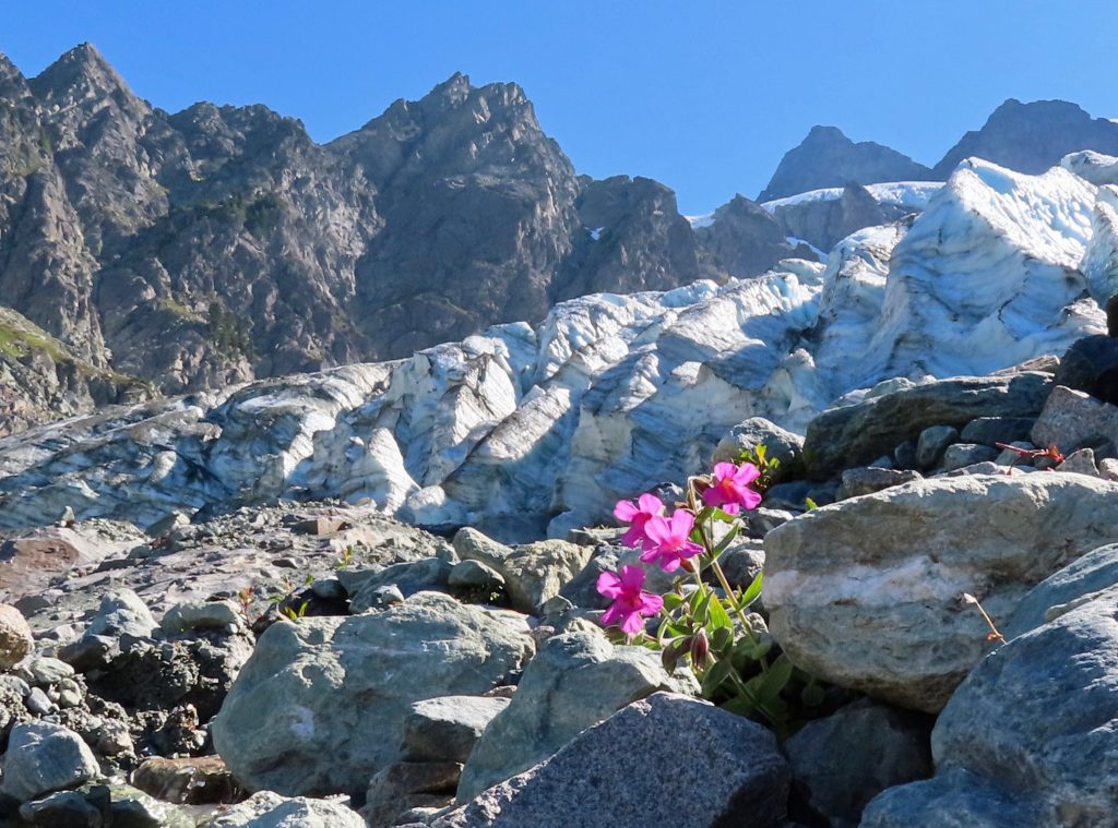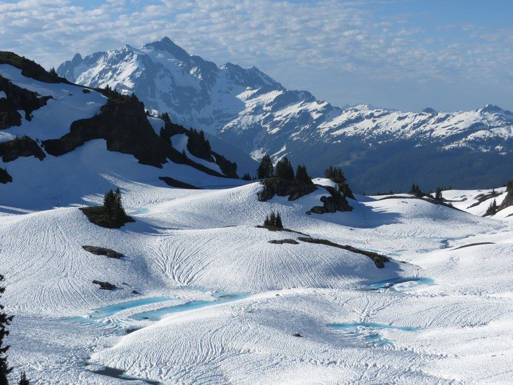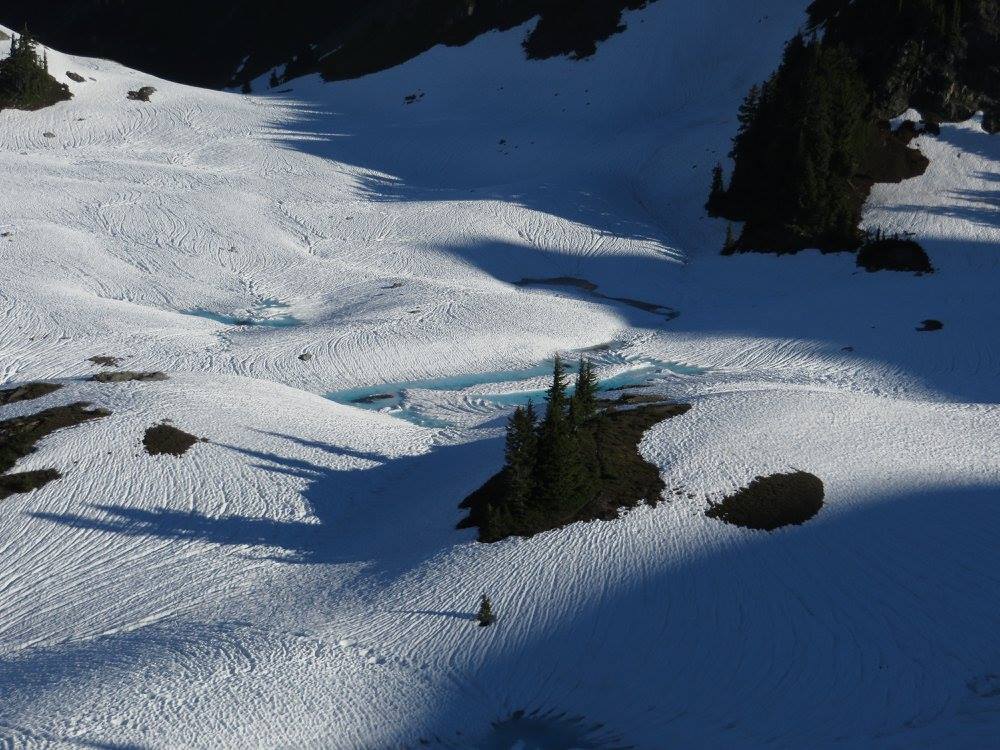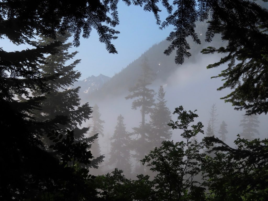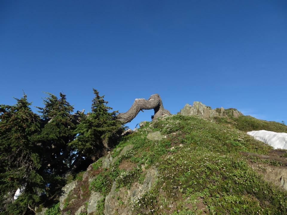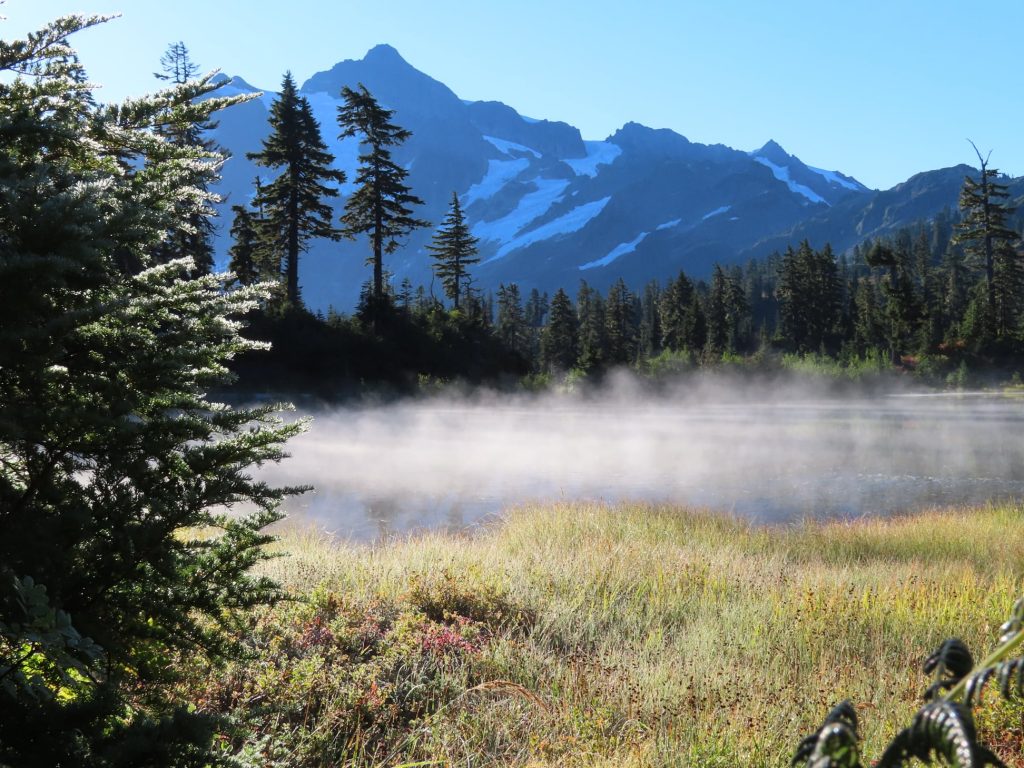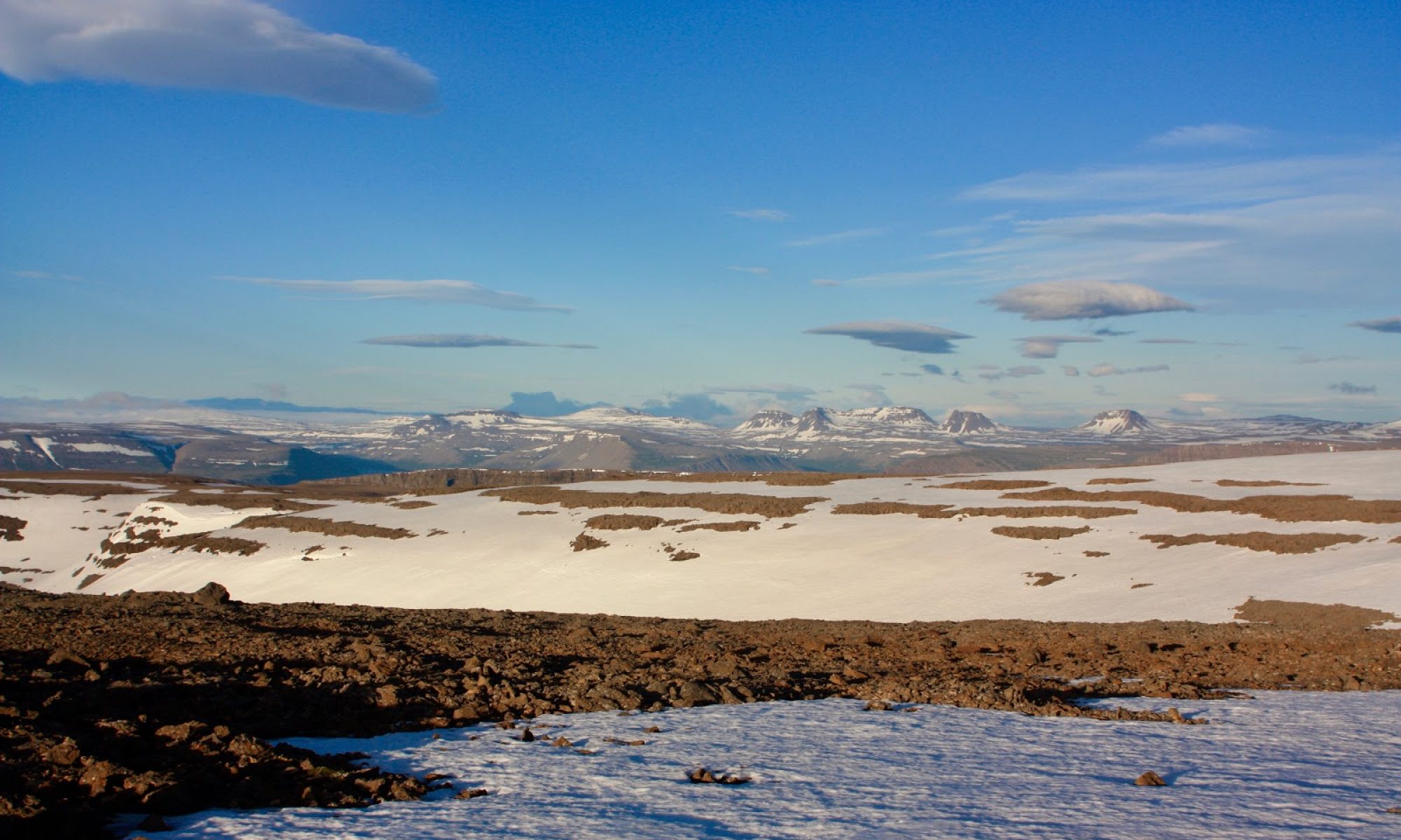
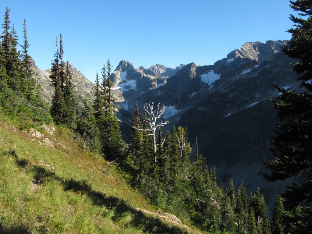
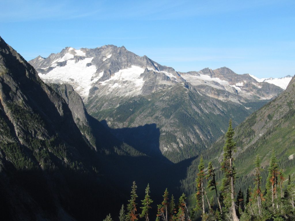
Viewed from a great height, the Eureka Creek watershed looks a bit like a human ear. You can see the ear from a jet plane, or in a satellite photograph, or on a topographical map. You can’t see the ear when you are in it. In fact, in the North Cascades, you can seldom see the true and complete shape of a watershed while you are in it—especially if you are below timberline. You must get above it.
Like all metaphors, this one requires imagination; the watershed is not exactly like an ear. It could be a kidney bean, or a backwards numeral 3. Fair enough. Nothing is exactly like anything else, and metaphors demonstrate the limitations of language. But because I want to hear what this landscape has to say to me, I’ll choose to see an ear.
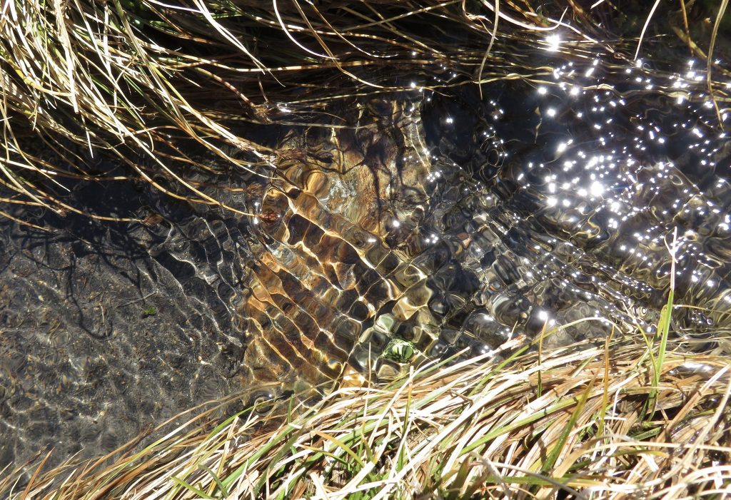
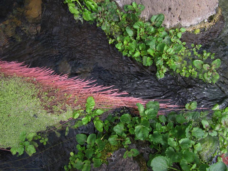
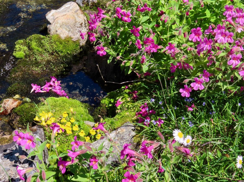
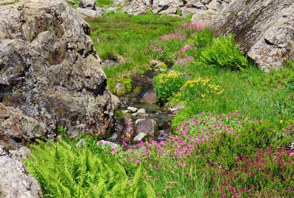
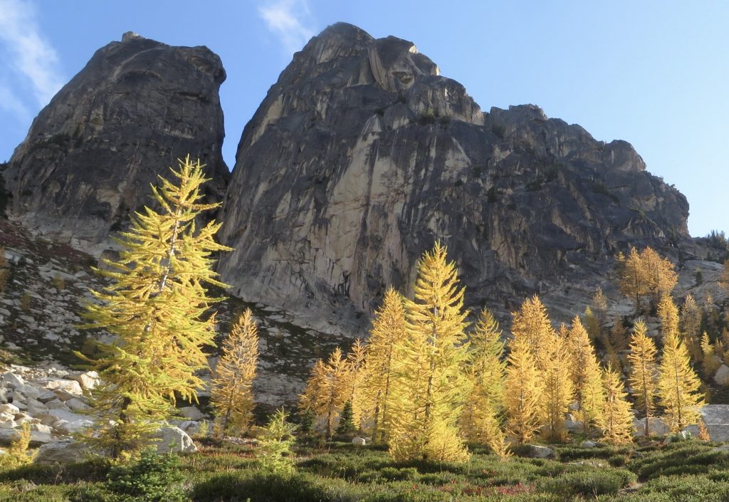
One of the first impressions urban folks have of alpine places is that they are quiet. But when, with time, the ears are gently opened, countless distinct sounds fill them: streams under snow, wing-beats of a ruffed grouse, chirp of a marmot, clatter of rock fall, muffled hoot of ptarmigan, buzzing of horseflies.
It is in the almost quiet that hearing becomes most acute and discerning. A breeze through trees, for instance, is not one sound, but many. Is the wind threading through larch needles, or through the gnarled mat of subalpine fir at timberline? Through a grove of aspens, or cottonwoods along a river? The shape of a leaf and the way it is attached at the petiole to a supple stem alters the timbre of the wind’s voice. With my eyes closed, can I tell the difference?
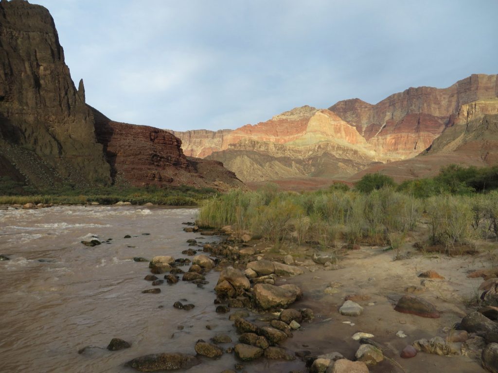
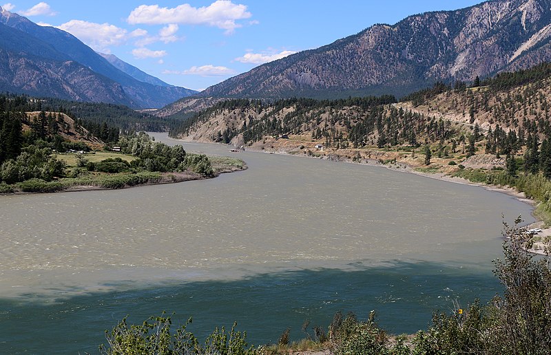
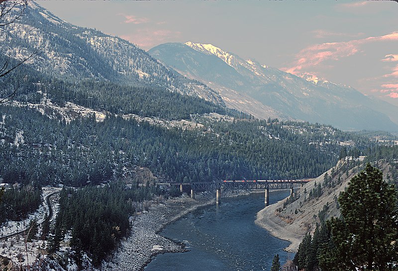
The ear-shaped basin has two lobes—so in this way it’s more like a backwards 3 than an ear, although I prefer the image of an ear. In the course of five or six miles, the south fork of eureka Creek almost completes a counter-clockwise spiral, flowing at some stage of its journey toward every point of the compass. Meanwhile, its partnered stream in the north half of the basin spirals clockwise in similar fashion. Where the two forks meet, the creek then flows straight southeast (like a eustachian tube?) through a steep valley toward its confluence with the Methow River.
Imagine two explorers in the watershed. Let’s say that like many explorers, they have navigated by rivers. Now they find themselves in the middle of the ear, where the two forks converge. They are headed upstream, searching for a way across the Cascade divide. They intend to drop into a watershed on the west side of the divide, the wet side, to find a different river that will tumble through dense and lush forests and deliver them to Puget Sound, where they will find seafood, the New York Times, and good coffee.
But first, they have to find their way. So, they split up; one goes south and one north, following each fork to its headwaters. The one who goes south will be spun counter-clockwise. If he follows the main stem all the way to the highest little rivulet, eventually he’ll get to a ridge on the shoulder of massive Robinson Mountain. He’ll drop down the other side, then follow a short and steep stream that all too quickly delivers him into territory that is familiar: Eureka Creek. He ends where he began, at the Methow.
Meanwhile, our intrepid north fork explorer has a disconcertingly similar, albeit clockwise, adventure. The ridge and the river nudge her steadily to the right until she reaches a pass on the shoulder of an attractive peak. Perhaps she doesn’t know it (and the knowledge wouldn’t help her anyway) but the peak looking down at her misadventures bears the odd name of Mount Lago.
Disoriented but hoping for the best, she drops from the pass into the watershed on the other side. If she’s paying attention to the sun, she knows that something has gone wrong. And although the journey takes longer than that of her southern compadre, she eventually finds herself—exasperated, sweaty, and besmirched—on the banks of Eureka Creek as it tumbles headlong toward its marriage with the Methow.
It is, of course, possible that explorers going up either fork of the Eureka might cross the rim of the ear before completing the spiral, and find a way to the west side. Then they might follow the north-flowing Pasayten River, which might seem to promise a journey to the ocean, but would also end up swinging them east again, whence they came.
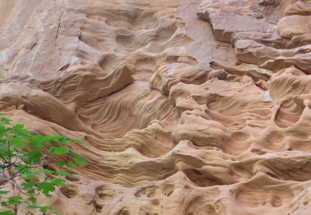
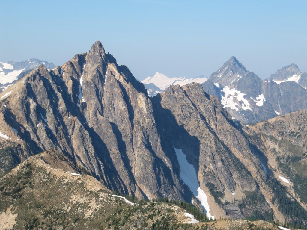
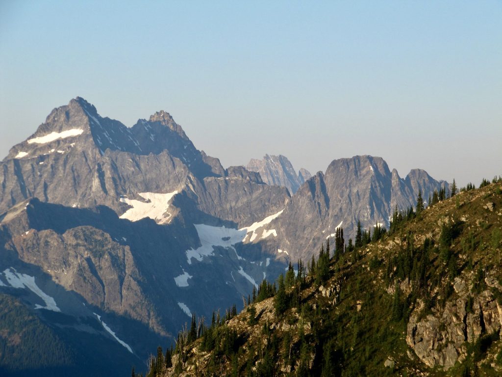
It helps to have a view from above. But even from above, this landscape is a puzzle. It must have seemed diabolically complicated to early explorers. This part of the Cascade Range offers perhaps the most confounding bit of watershed geography in the United States, if not all of North America. Mountains sprawl in no discernible pattern. Rivers go every-which-way, and frequently change direction. It is a landscape turned and folded on itself, much like the folded and buckled metamorphic rocks of which the mountains are composed.
Of course, these days, route-finding is easier. We have GPS, we have guidebooks, we have trip reports. We have Highway 20. And we have maps. A map is a way to see connections, to understand how parts come together to form… well, if not a whole, then at least larger parts. A map provides orientation, perspective, coherence and understanding. An overview.
If I could calculate how many hours of my life have been spent poring over maps—topographic maps, climate maps, soils maps, vegetation zone maps—it would be a stunning figure. It might be equivalent to the hours some people spend watching television or playing video games. However, even if the number of hours surprised me, I wouldn’t consider it wasted time.
My wife often asks me if I’m planning a trip when my gaze is glued to maps. Sometimes this is the case, but more often it’s not. Usually I’m just contemplating them—often the same ones I’ve studied hundreds of times before. Although it’s not an explicit intention, what I’m doing is memorizing. In my mind’s eye, I flit back and forth between the arrangement of lines and colors on the map, and a picture of the landscape as I imagine it or know it to be.
Most likely I’m looking at certain pockets of the North Cascades for which I hold a special affection. What I am committing to memory are watersheds. Through the map I am trying to absorb the orientation and arrangement of watersheds: what ridges separate them, what passes provide passage between them, what obstacles to or opportunities for cross-country travel exist within them.
Of course, studying a map is no guarantee that things will be clear on the ground. Far from it. For instance, it always seems, from looking at a topo, that it will be easy to discern the lay of the land. It seems that ridges will be distinct, that obstacles will be apparent from a distance. The reality in thickly forested terrain, however, is that rocky outcrops or impenetrable thickets will conspire to nudge me, imperceptibly, off of my carefully planned course. Before I know it, I’m not where I intended to be. Before I know it, I find myself in the middle of an unstable avalanche slope, or on a ledge that cliffs out, or in a gully that is desperately hard to escape. Now how did that happen? Somewhere along the line, I made a poor choice.
The phrase watershed moment is both literally and metaphorically apt. It can describe a journey in the mountains—and so much more. It is a moment in which a fateful decision is made that commits the chooser to a course that is increasingly hard to reverse. In landscapes where vision is hampered, these moments often happen before I think they will happen, before I notice that they already have happened.
Looking back over a sequence of choices, I may not recall the moment I entered disastrous terrain. Perhaps the ridge was sort of flat, nondescript, its contours subtle and obscured by timber. I didn’t know I was on the wrong side of it. Or perhaps I was seduced by a fun and apparently easy glissade down a snowfield: Wheeee! It looked so much better than that unpleasant traverse across scree or shattered ledges. And now… I am in the wrong gully. It is a perilously steep chute, with scary snow bridges through which I could plunge into a raging creek. Or I am vertically bush-whacking through a mat of yellow cedar and the ground has dropped away. I can’t see the ground. I’ve been sort of half down-climbing and half falling through the canopy of spindly cedar branches. I am in deep shit.
This has happened to me. I’ve made plenty of mistakes, but I’ve been lucky. I’ve learned to be better not only at reading maps, but at reading landscape. I’ve learned to be better at look- ing ahead. I’ve learned to sometimes take the hard way when it preserves my options, provides a clear view of the next step, and leads to a better place from which to take that next step. I’ve gotten better, but that still doesn’t mean I am very good at it. Route-finding is an art. I’m learning, and I benefit from good examples.
If route-finding is an art, one of the master artists was the man after whom that peculiar mountain in the Eureka Creek watershed—Mt. Lago—is named. Lage Wernstedt was a Swedish immigrant who graduated from Yale with a degree in Forestry in 1903, and then worked as a surveyor for the United States Forest Service. He was one of the toughest, most persistent, resourceful, adventurous and indefatigable of the early mountaineers who pioneered the Cascades. He looms large in the history of Cascades exploration, cartography, mountaineering and firefighting.
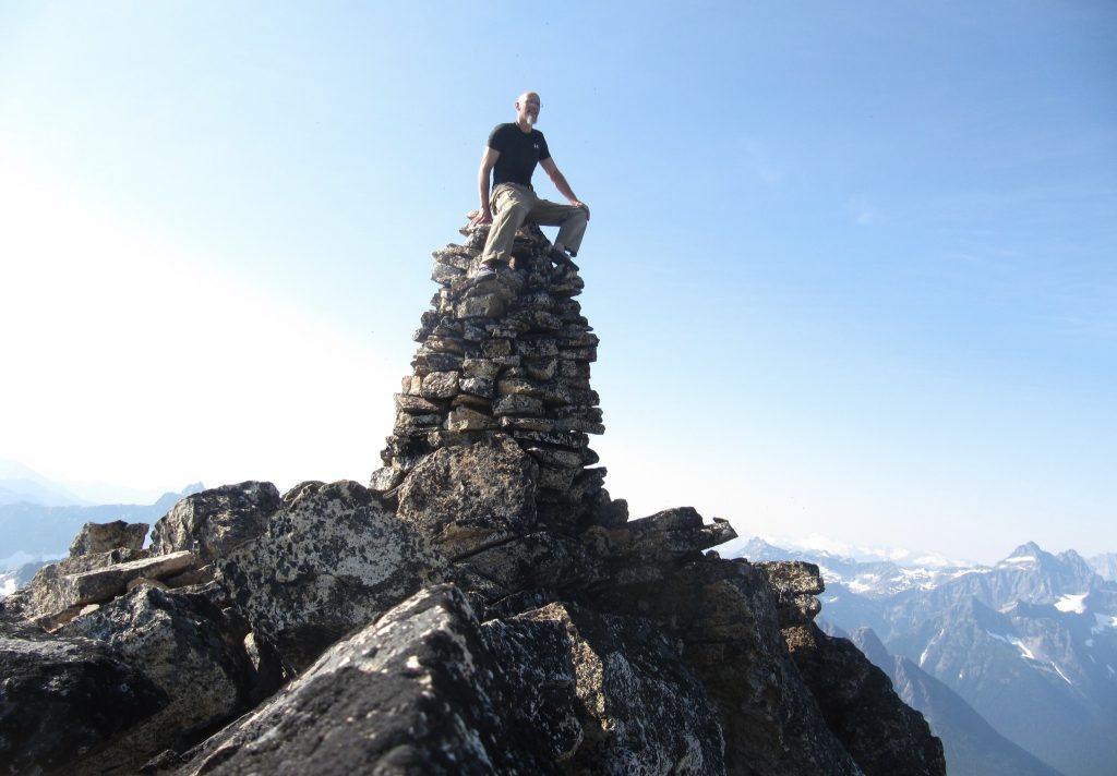
Over the course of his career, Lage (pronounced Loggy) would become one of the west’s most knowledgeable and experienced foresters. He was rich in both scientific knowledge and practical skills, from the application of new methods in mapping, to techniques of firefighting, to how to efficiently pack a mule train. He entered the ear of the Eureka Creek watershed in 1925 with his mule train, his surveying tools, his tripod, heavy camera, and photographic plates. I like to think his ears were open to what the land had to say to him as he traversed the length and breadth of the watershed, climbing all the high peaks that shaped the rim of the ear.
Along with Herman Ulrichs and Fred Beckey—Washington’s most famous early mountaineers—Wernstedt rounds out a trinity of climbers who can claim most of the first ascents of the highest and most prominent peaks in Washington’s North Cascades. Wernstedt was the first of the three. Unlike Ulrichs and Beckey, he didn’t think of himself as a climber in the recreational sense. He didn’t care much about the attention that comes from a community of climbers who consider first ascents a prize. Perhaps he was simply humble, perhaps he was just doing his job without fuss, or perhaps he never considered himself first, regardless of the record, given the presence of Native Americans, miners and settlers in the area.
At any rate, he didn’t care much for claiming credit. There are plenty of peaks under Lage’s belt that we know are first (recorded) ascents, a number that Lage probably climbed first, and an even greater number that he possibly climbed first. He didn’t always build cairns, and he didn’t leave notes. What he did do is leave photographic evidence; careful examination of his photographs proves that he was on several summits that were claimed as first ascents by later climbers. Also unlike Beckey and Ulrichs, Wernstedt didn’t particularly care if a mountain offered interesting climbing. While his ascents were definitely hard work, especially given their remoteness at the time, they didn’t often present technical challenges.
So, if he wasn’t after glory and he wasn’t after difficulty, what was he after? Well, primarily, a good view. As a man bestowed by the Forest Service with a mission to survey and map this rugged, convoluted, geologically complex and still largely unknown terrain, he was looking for summits from which he could triangulate locations and begin to understand what we call “the lay of the land.” He was piecing together a puzzle. In an age before Google earth, GPS, satellite imagery or even aerial photography, the way to gain this understanding was to get to the high points on foot. No one in the Cascades was more single-minded in pursuit of this goal than Lage Wernstedt.
And no one was more discerning in knowing which peaks to climb. Although elevation was an obvious factor, it was not as simple as going for the highest or even the most prominent summits. He chose strategically located surveying locations from which he could begin to understand the logic of the watersheds and ridge lines. He could begin to understand the influence of topography as it affected the movement of water, weather, people, and even fire across the terrain.
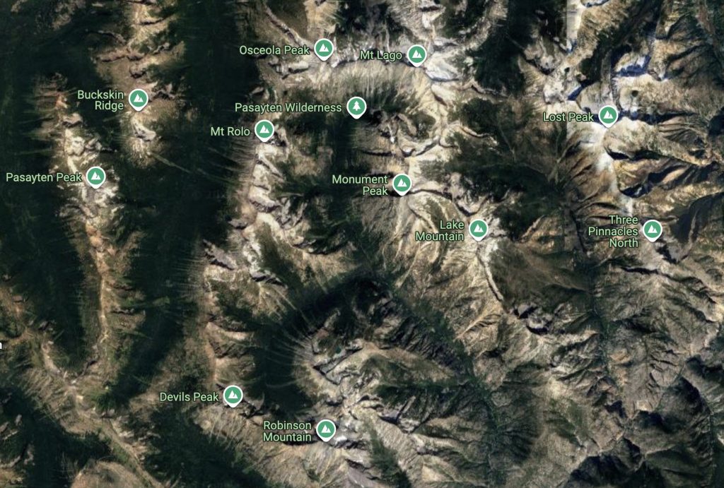
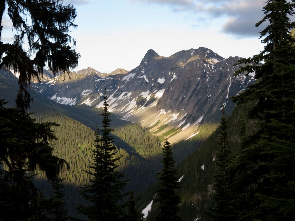
He had a long career with the Forest Service, from 1908 to his retirement in 1943. During that time, he added much to the body of knowledge about mountains in Oregon, Washington and Alaska. Much of the backcountry was still terra incognita. His most active years in the North Cascades were 1925 and 1926. During these years, he focused on the high peaks north and west of the Methow valley, in what is now the Pasayten Wilderness and in the area of Washington Pass, along the spectacular spine of the North Cascades.
The list of first ascents that either definitely or probably belong to him goes on and on. It includes the big ones: Logan, Black, Silver Star, Osceola, Carru, Lago, Monument, Blackcap, Lake, Robinson, and Big Craggy. If a modern-day Cascades hiker wanted to compile a list of summits likely to provide both a superlative view and a strategic location from which to see and understand watershed boundaries, choosing Lage Wernstedt’s first ascents wouldn’t be a bad way to go about it.
I feel an affinity for the tough Swede in his cork boots and cowboy hat—not because I am in any sense his equal, but because this region that I think of as Lage’s country is my favorite part of the range. In 1925, long before roads penetrated this area, it took an extraordinary level of fitness, skill, confidence and determination to reach these high peaks. I also admire the curiosity, the thirst for understanding that drove him not only to explore the mountains, but also to develop new techniques of mapmaking using aerial photography and to pioneer bold new ways to fight fire. Lage Wernstedt was a great mapmaker and mountaineer; he was also one of the co-inventors of smokejumping.
It may seem obvious in 2015 that maps can be made, checked and improved through the use of aerial photography. It may also seem obvious in 2015 that forest fires can be attacked from the air and that firefighters can jump from airplanes. But neither proposition was obvious in 1925. The first use of aircraft by the forest service, in 1917, was simply for fire detection. In the following decade, planes were used to battle fire by dropping water on flames and supplies to firefighters on the ground. But in 1939, an experimental program was established in the Methow valley to see if firefighters could parachute successfully and safely, with their tools, into rugged country. Lage Wernstedt, along with Assistant Chief of Fire Control David P. Godwin and USFS pilot Harold King, introduced these concepts. His vision came to pass: aerial photography was used in mapmaking, and an elite group of firefighters trained at the newly established smokejumper base in Winthrop did indeed start to jump out of airplanes.
He was a true route-finder in numerous ways. He was a discerning observer and a creative thinker. In his day, he was at the forefront of attempts to manage the forest by wisely applying the best tools of science and technology. He combined this approach with an intimate knowledge of the patterns in nature, gained through many years of putting his boots on the ground. He came up with entirely new ways of thinking about the forestry problems of his time.
If Lage Wernstedt were with us today, I wonder if he would conceive of new methods for our time. Would he shift some paradigms in land management? Would he guide us into a different watershed? I can’t help but think that his familiarity with the patterns of landscape, born of countless forays on foot into some of the most rugged terrain in North America, would give him invaluable insights into the behavior of both water and fire. He would be a wise man to have in the Forest Service.
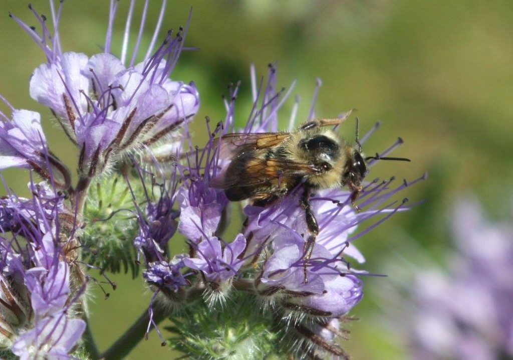
I wonder what insights he might have to offer regarding some of the challenges we face today: bigger and hotter fires, diminishing snowpack, collapsing fisheries, the depletion and poisoning of both groundwater and soil, the crashing population of pollinators, the loss of biodiversity, and (last but certainly not least) increasingly unpredictable climate. I have no idea what he would have to say about any of these things, but I know this: He’d seek a perspective that reveals connections between disparate parts. He’d pay attention to the landscape. And he’d seek to understand, always, the big picture, the view from above, the way things are connected.
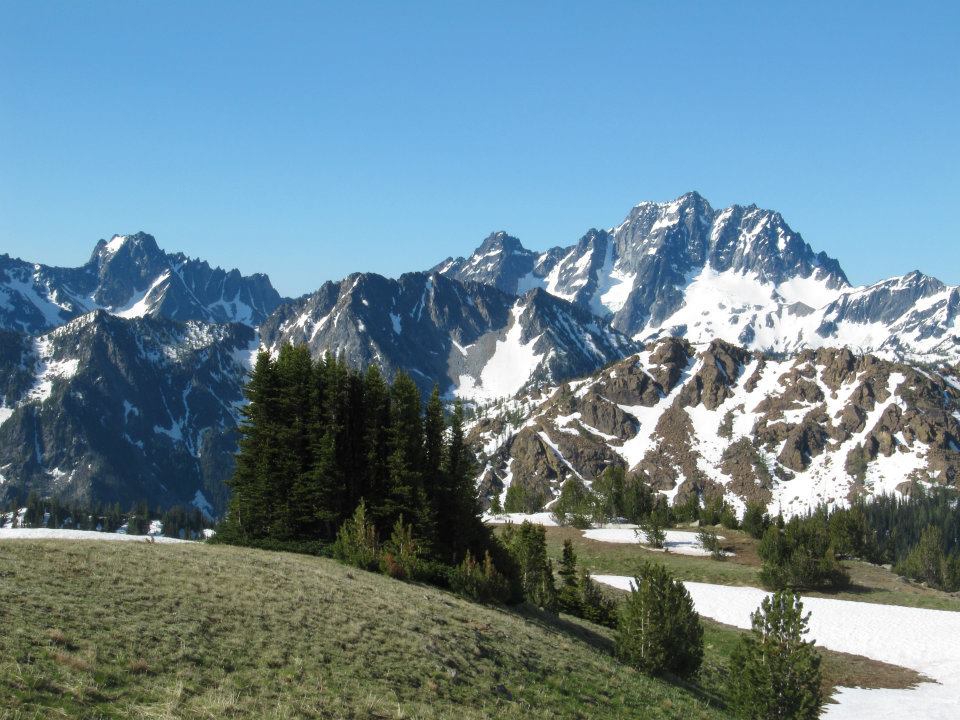
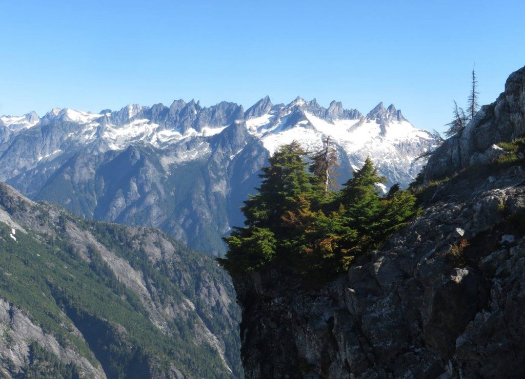
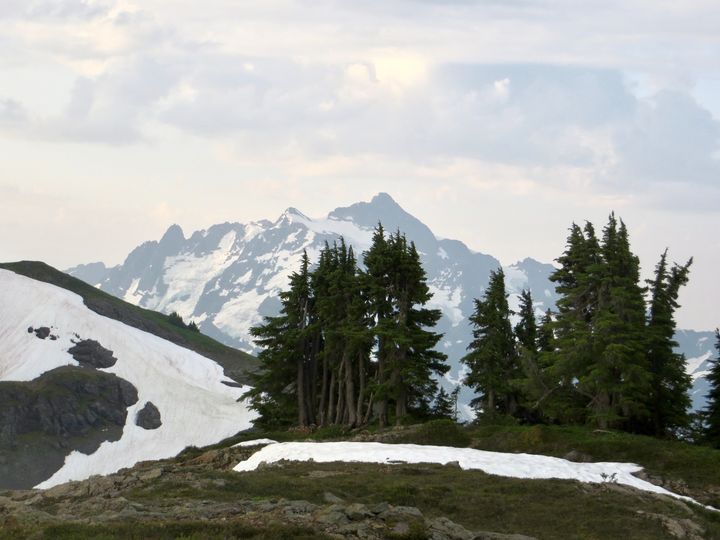
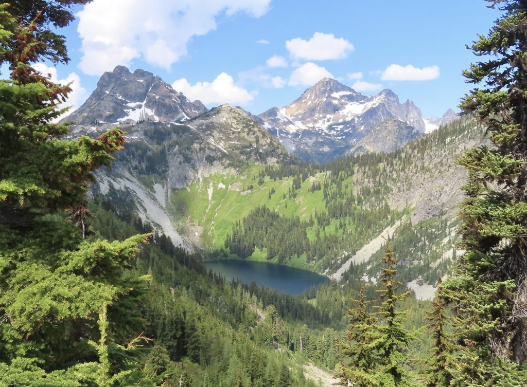
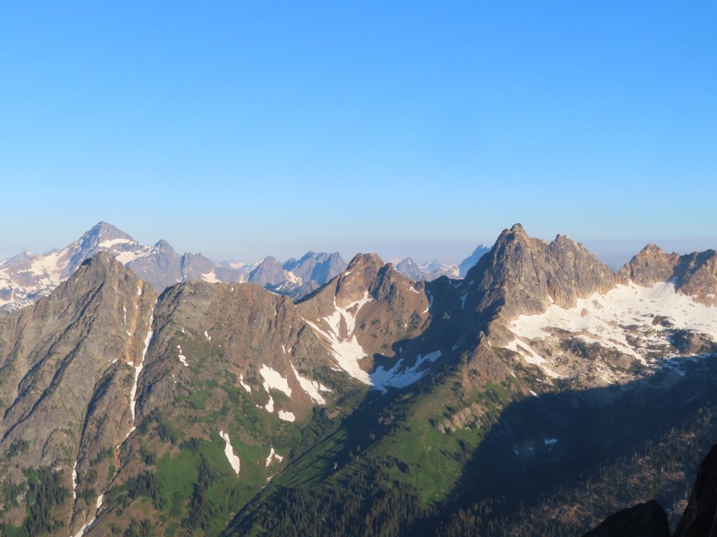
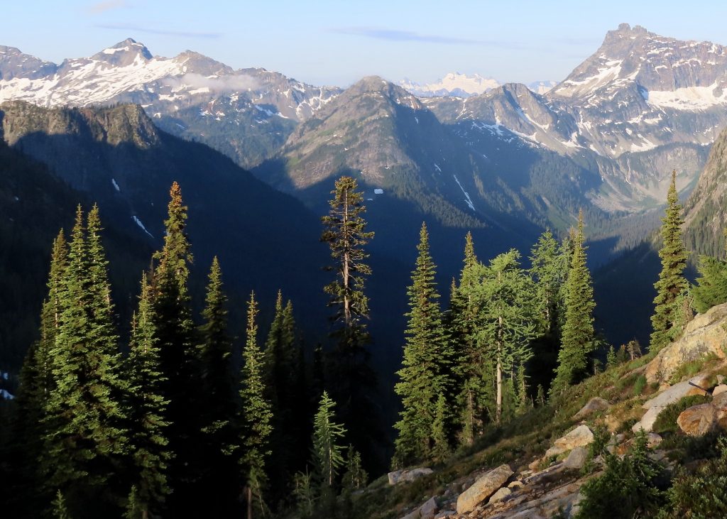
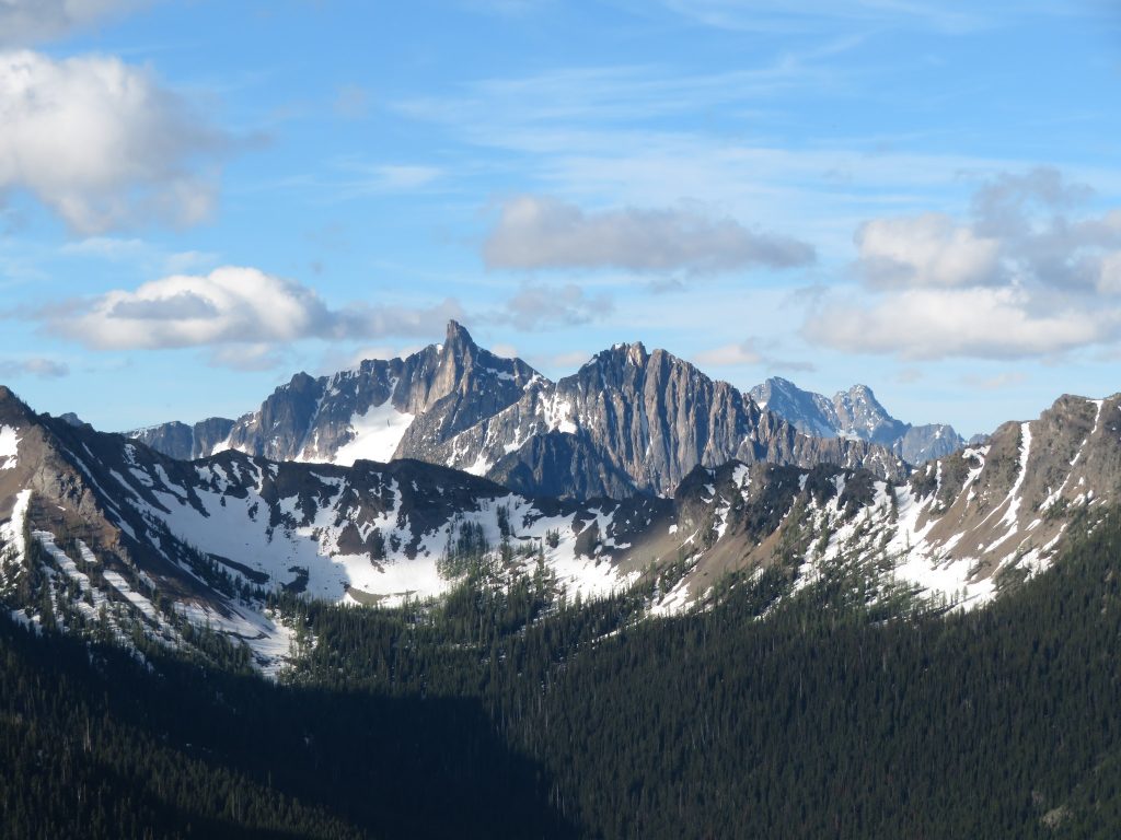
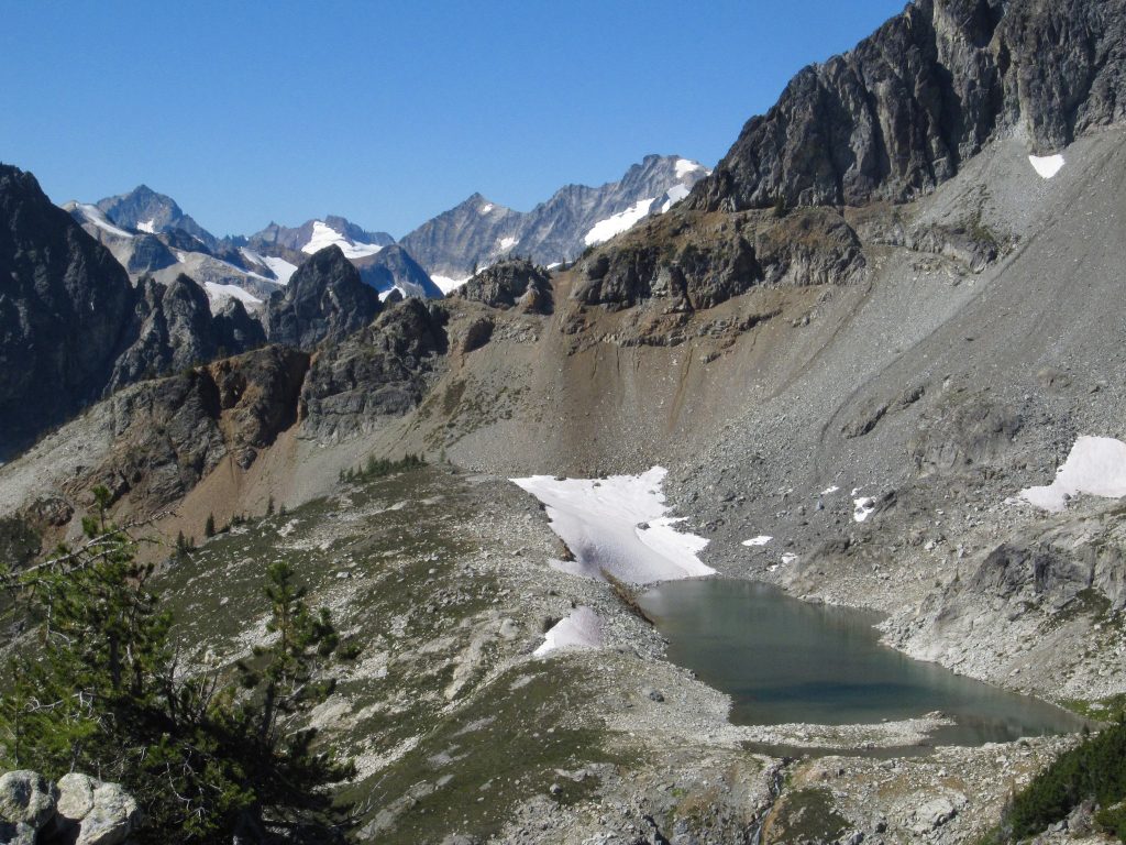
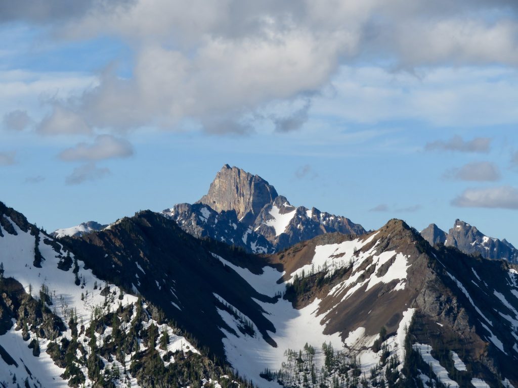
Not far to the southwest of Mount Lago, perhaps 20 miles as the crow flies, is a beautiful, dominant peak that rises above the many peaks in its neighborhood. It is Tower Mountain, and it is one of my favorite summits in a region where spectacular peaks are abundant. Tower is smack-dab in the center of Lage Wernstedt’s territory. In every direction from Tower’s summit, the highest and most splendid summits visible all felt the footprint of Lage’s boots ninety years ago.
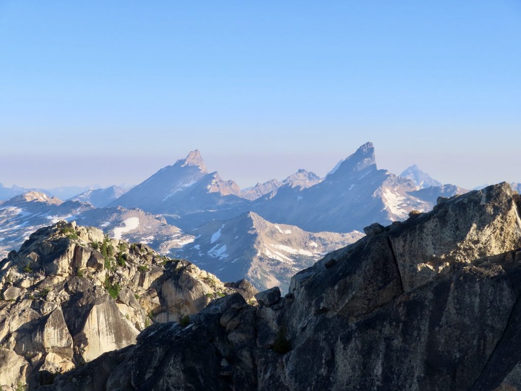
To the north are the relatively gentle summits of the Pasayten wilderness, with their glorious meadows and larch-lined lakes. The Eureka Creek peaks are prominent in this direction. Immediately to the southeast is the massive, crenellated escarpment of Silver Star. Beyond it is the high peak of North Gardner. And to the west and southwest are two of the highest and grandest of all the mountains that Lage Wernstedt summitted in those incredible years of 1925 and 1926: Black Peak and Mount Logan—without a doubt, two of the best viewpoints in the Cascades. Tower is right in the center of it all.
Although it would please me if Wernstedt made the first ascent of Tower, there is no evidence that he did so. He did indeed survey from it, in 1926, but it is not clear that he attained the summit. He may have. It’s not known who made the first ascent; it may have been surveyors from the United States Geodetic Survey. At any rate, Wernstedt was one of the first on the mountain. It is good to remember that Lage himself would not have cared if he was first.
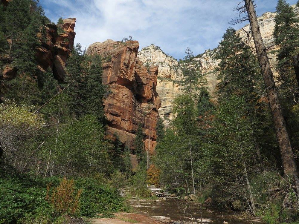
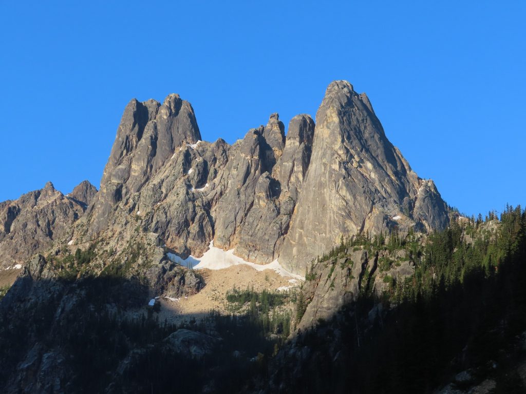
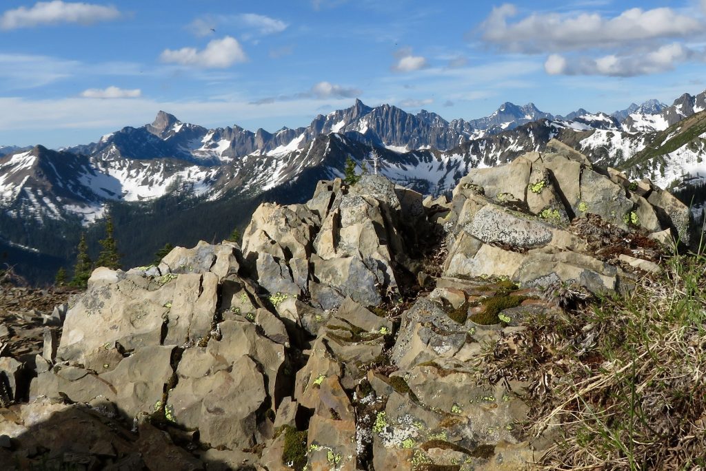
Rugged Tower presents a sheer face on its east side, and a steep but fractured complex of gullies, ramps and cliffs on its west. The peak prominently juts above its neighbors. It is a hub, a kind of nexus in the geography of watersheds in the Washington Pass region. In an aerial photograph, the five ridges that radiate from Tower Mountain resemble (to my overactive imagination) the splayed arms of a starfish. Between each of the starfish’s arms is a sharply incised valley with a creek tumbling vigorously in its own damned direction.
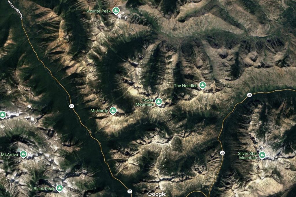
It is an amazing and satisfying sight to see five valleys spread in five directions, separated by ridges that spread like dendrites from a peak that sharply and splendidly pierces the sky. The radiating ridges connect the sharp horns of surrounding lesser peaks: Golden Horn, Cutthroat, Hardy, and The Needles. The creeks head every which way; the spires rise in all directions. But among them, Tower Mountain is the queen, the apogee of the Methow River watershed.
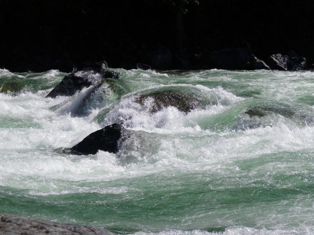
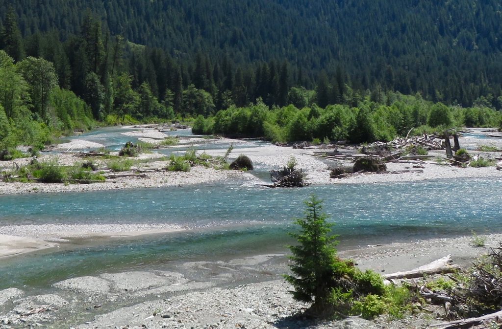
On a clear day, from a great height, all of it makes sense. It’s possible to see how the pieces fit together. But even by North Cascades standards, the drainage patterns surrounding Tower are convoluted. The general principle is clear: streams must either drain to the west, into early Winters Creek, which feeds the Skagit, or to the east, into the Methow River. Sure, this is how divides are supposed to work. It’s simple. And beyond that, all the unruly waters that cascade down the slopes of Tower Mountain will meet in the Pacific Ocean. Eventually. But before the eventual, there is the immediate, and at its headwaters, the Methow perversely flows west, before curving north and spiraling until it flows southeast.
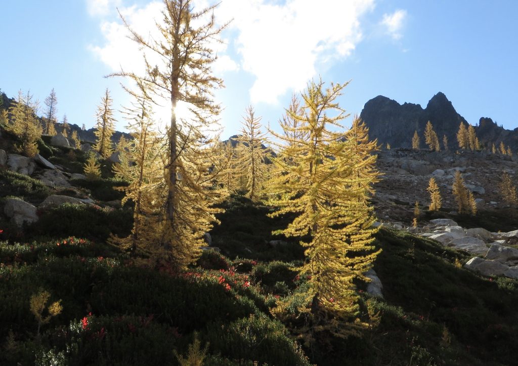
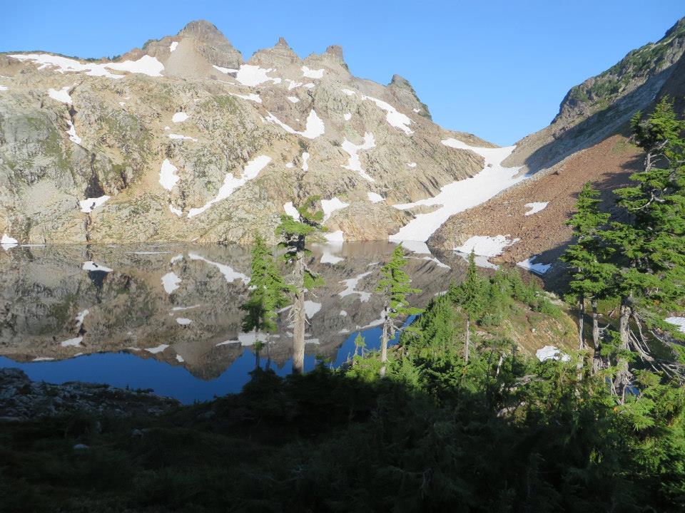
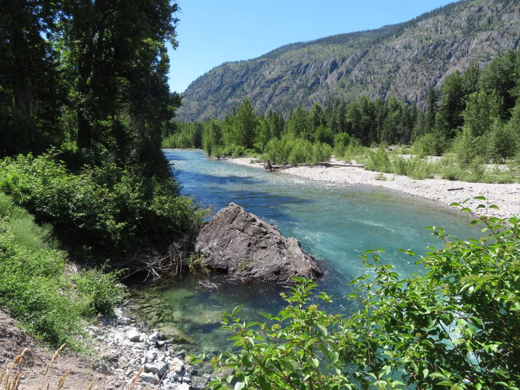
It begins in larch and heather meadows near the lovely Snowy Lakes, at the base of Tower Mountain. In a curious similarity to the South Fork of Eureka Creek, the valley of the upper Methow also looks sort of like an ear—a gracefully curved ear. On its curious journey, it is joined by three more of the creeks that start on Tower’s flanks, and when all of these waters are gathered together, the Methow becomes a gem of Washington’s “dry side” rivers. In the chilled air of autumn, when the cottonwoods have turned gold, the banks of the Methow is a glorious place to be. It flows past wide-open glades, under black and tan tiered hills of Ponderosa pine, grass, and basalt.
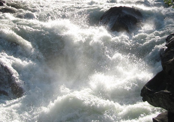
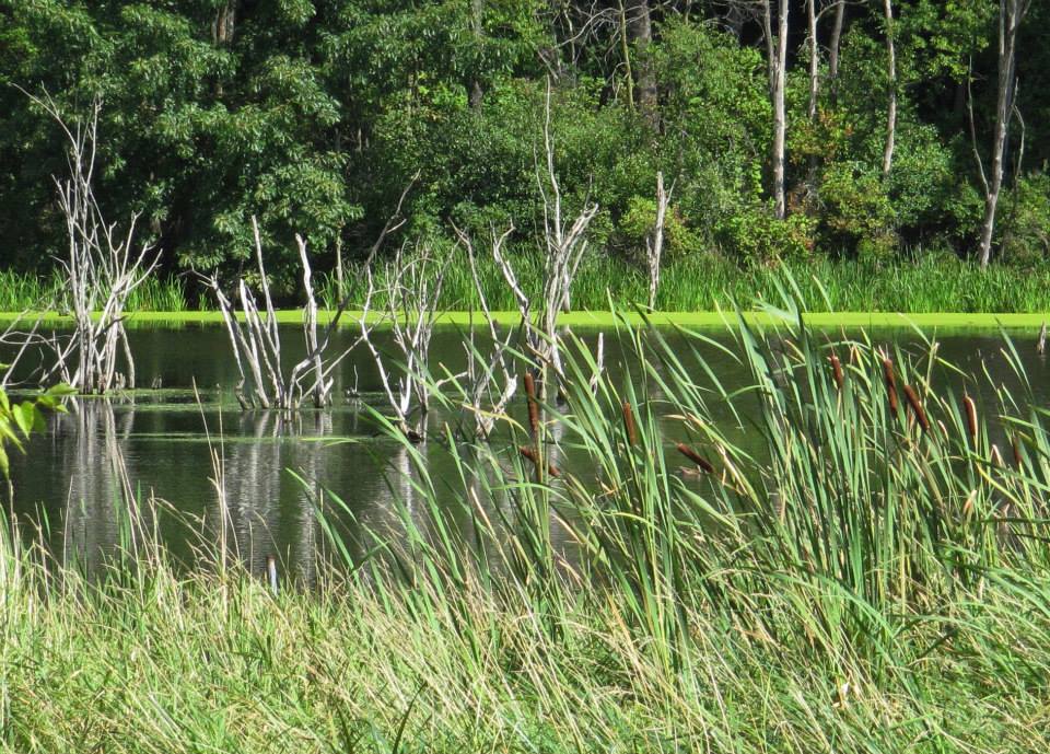
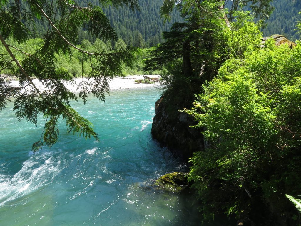
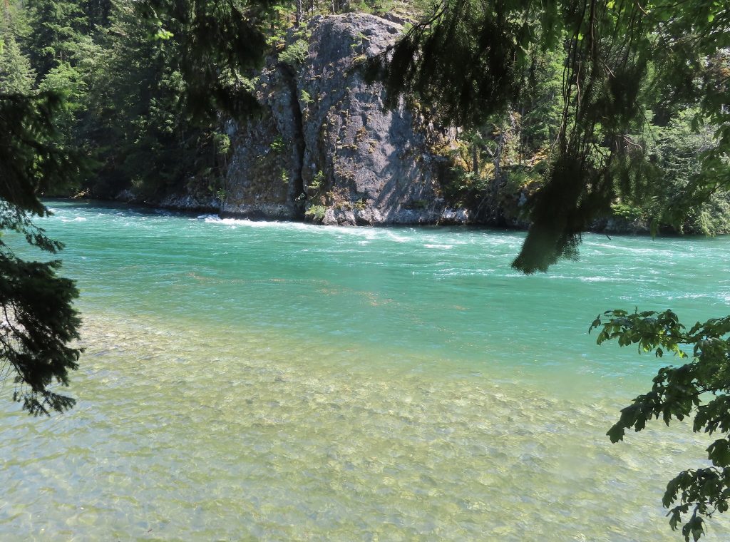
Only one of Tower’s five streams, Swamp Creek, manages to find a different gravitational allegiance, contributing its water to the magnificent Skagit, the “wet side” river, which swells quickly from the relentless rain and heavy snowpack of the west-side Cascades, one of the wettest mountainous regions on earth. The Skagit’s banks, more densely crowded with alder, maple and cedar, host a large bald eagle population in the winter. In fall, the river is alive with salmon and steelhead.
Watersheds show us that the world is both complex and simple. But on the way to simplicity, the waters demonstrate the dance between pattern and variation that makes life interesting. It is a delightful thing to be perched on the ragged edge of understanding something about how the world is put together, but still be perplexed by nature’s unconformities, anomalies, and asymmetries.
To observe nature carefully, as Lage Wernstedt undoubtedly did on his many sojourns into the wilderness, is to be teased by the simultaneous suggestion of order and randomness. Looking upstream, we see divisions and distinctions, diversity beyond measure, endless branching, tributaries beyond counting. But looking downstream, we see merging and confluence. The Many becoming One. Everything is connected, and we are a part of it. This is part of what Lage’s Country has to say to me, if my ears are open to hear.